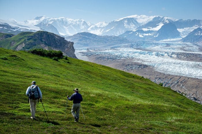
Facts About the Tordrillo Mountains
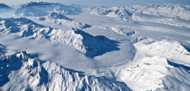
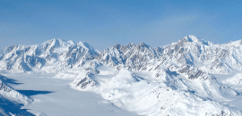
Not only are the Tordrillos mostly untapped with nearly one million acres to explore, they’re also one of Alaska’s most accessible and beautiful ranges. The list of things to do in summer and winter is endless—skiing, snowboarding, hiking, ice climbing, fishing, whitewater rafting, mountaineering, wildlife viewing and more. To give you a better idea of the mountains, we’ve compiled a few interesting facts about the Tordrillo Mountains:
Total Area: 3,858 square miles and approximately 1.2 million acres
The range runs for approximately 74 miles North-South; approximately 81 miles East-West.
Location: Matanuska-Susitna and Kenai Peninsula boroughs, 75 miles west-northwest of Anchorage
Central Coordinates: 61° 27’ N; 151° 41’ W
Average Snowfall: 600 inches
Tallest Mountain: Mount Torbert (11,413 feet)
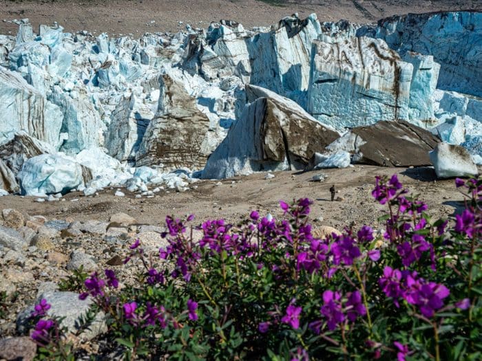
Interesting Info: Mount Torbert is comprised mostly of glaciers. In the summertime, Torbert’s glacial melt drains into the Cook Inlet, Gulf of Alaska and eventually the Pacific Ocean.
Other Major Peaks
Mount Talachulitna (11,100 ft.)
Snowmelt from Mount Talachulitna runs into the Talachulitna Creek which then turns into the Talachulitna River, or we call it, “The Tal.” Rafting and fishing are common along the river banks. The river contains class I-IV rapids and is considered on the best rafting areas in the Tordrillos. The Tal was the first catch and release only river for Rainbow Trout in Alaska.
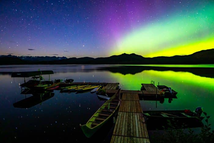
Tordrillo Mountain Lodge is located on the banks of Judd Lake where it meets the Tal. SUPing, kayaking, rafting, cruising around the lake on Wave Runners and casting a line are typical summer activities on the lake. Views of the tallest peak in North America, Mount McKinley, are easily seen from here.
Mount Spurr (11,070 feet)
Interesting Info: Mount Spurr is actually a heavily ice- and snow-covered volcano. The only known summit eruption occurred more than 5,000 years ago. Several small eruptions occurred lower on the volcano in 1953 and again in 1992.
Mount Gerdine (11,258 feet)
Hayes Volcano (9,147 feet)
Crater Peak (7,575 feet
Crater Peak is a subsidiary peak of Mount Spurr.


